| This Afternoon  Mostly Sunny |
Wednesday Sunny |
Thursday Sunny |
Friday Sunny |
Saturday Sunny |
Sunday Sunny |
Monday Mostly Sunny |
|
| High: 57 °F | High: 59 °F | High: 48 °F | High: 47 °F | High: 50 °F | High: 57 °F | High: 58 °F | |
Tonight Partly Cloudy |
Wednesday Night  Partly Cloudy |
Thursday Night  Mostly Clear |
Friday Night  Mostly Clear |
Saturday Night  Mostly Clear |
Sunday Night  Partly Cloudy |
Monday Night  Mostly Clear |
|
| Low: 31 °F | Low: 22 °F | Low: 21 °F | Low: 23 °F | Low: 29 °F | Low: 31 °F | Low: 30 °F | |
Ben's WX Summary
- Updated: Tuesday @ 07:19am
Looking at nice weather out there this week, with generally above normal temperatures and dry conditions. A series of storms will swing inland to our north, but not close enough to generate any precipitation across our area. A trough of low pressure will slide through the Great Basin at the end of the week, bringing a round of gusty offshore winds and cooler temperatures. Mostly sunny skies today with highs in the upper 50s with east winds 5-10 mph. Mostly clear and breezy tonight through Wednesday with west winds 10-20 mph, gusting near 30 mph during the afternoon with highs in the mid-50s. Temperatures will return to normal on Thursday and Friday as highs cool to the 40s with northeast winds 10-20 mph, and stronger gusts below passes and canyons. Temperatures will creep back into the 50s over the weekend as our forecast remains dry. Longer range is hinting at a closed/cutoff low dropping in our direction early next week, but confidence remains low at this time for any rain or snow across our area, stay tuned.
| Current Conditions | Wind | Rain | Outlook | ||||||||||||||||||||||||||||||||||||
|
|
|
|
||||||||||||||||||||||||||||||||||||
| Humidity & Barometer | Snowfall | Moon | |||||||||||||||||||||||||||||||||||||
|
|
|
|||||||||||||||||||||||||||||||||||||
| UV Index | Solar Radiation | ||||||||||||||||||||||||||||||||||||||
|
|
||||||||||||||||||||||||||||||||||||||
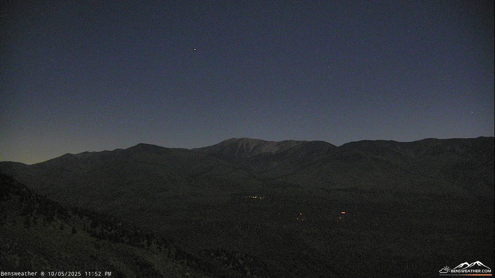
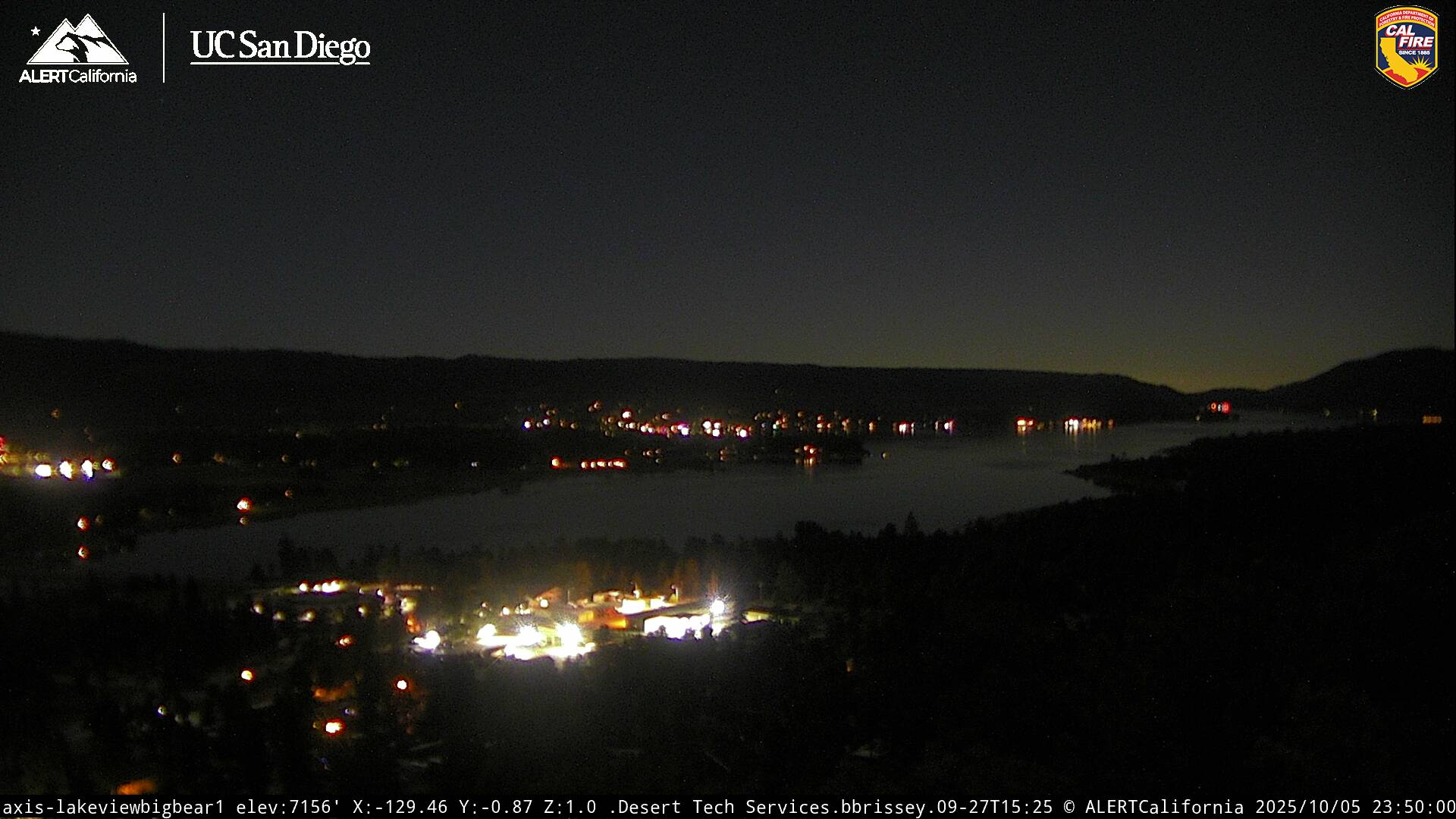
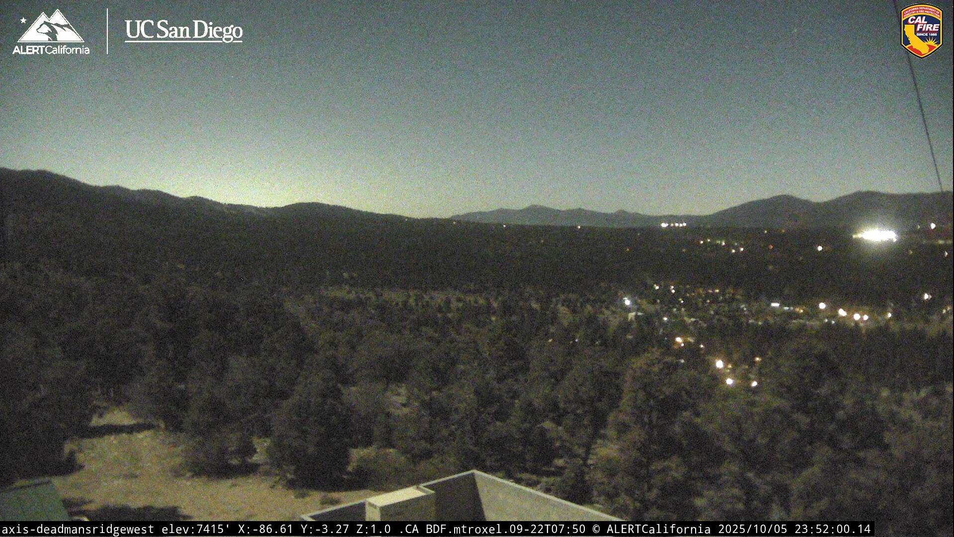
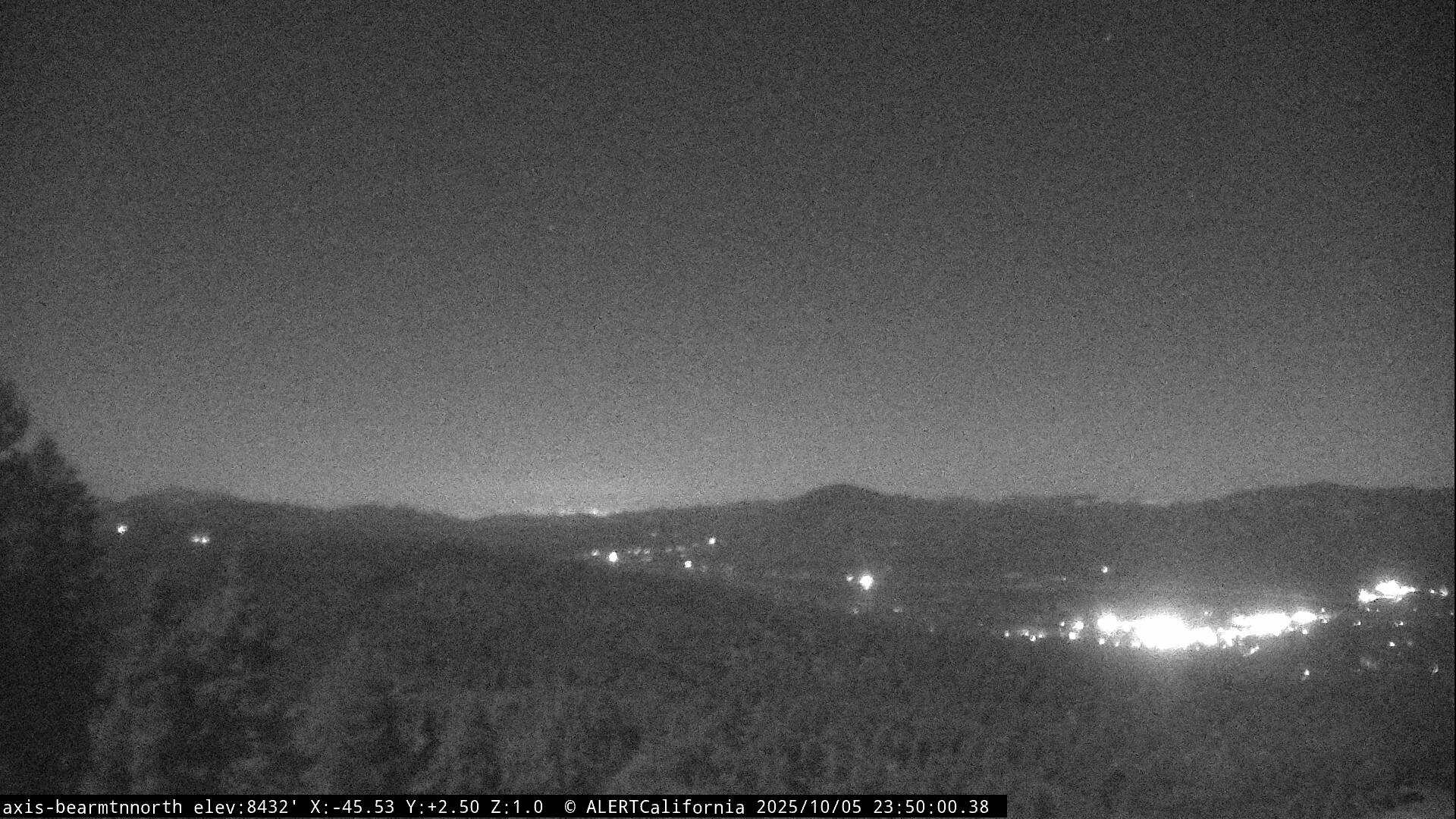
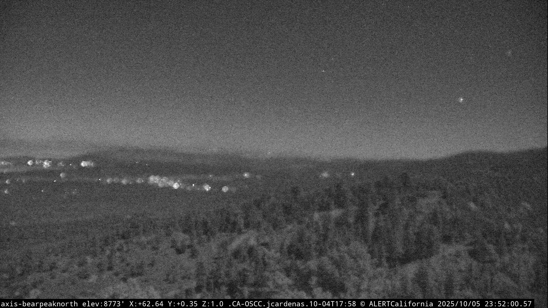
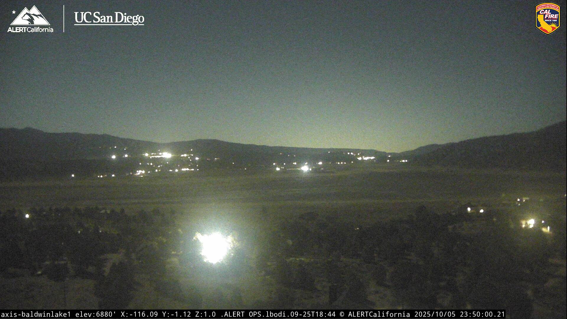
Live Cams
